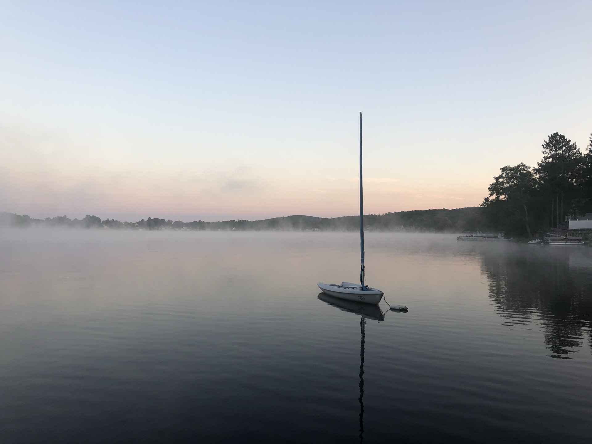
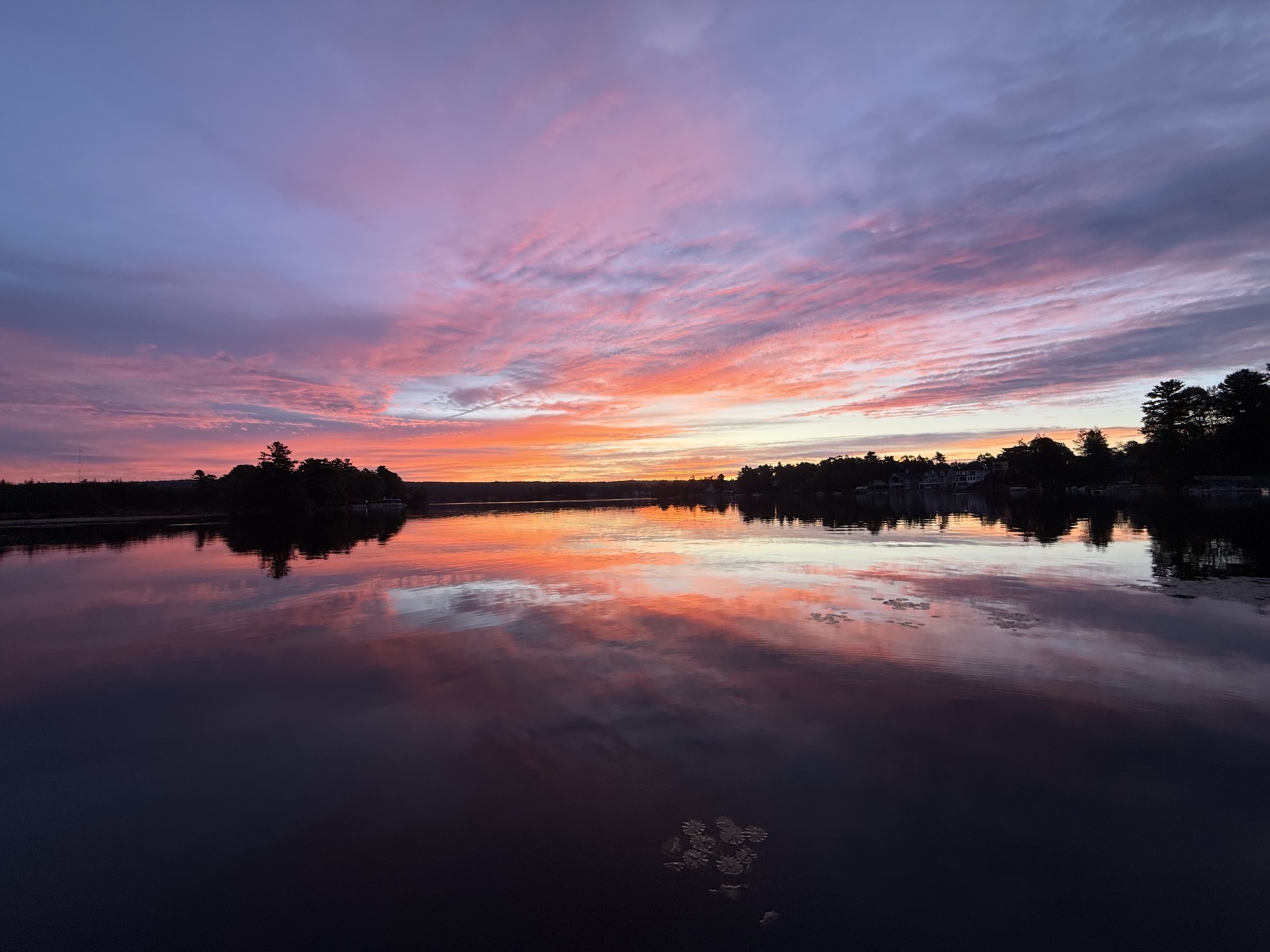
Webster Lake at Dawn
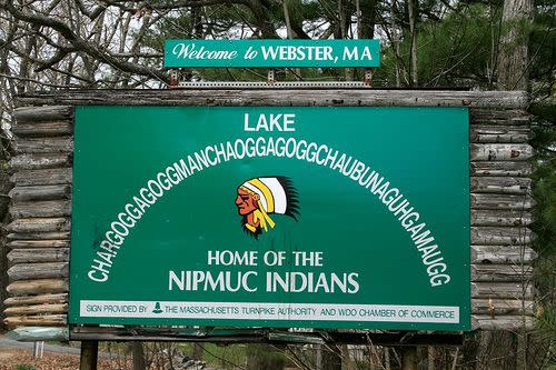
CHARGOGGAGOGGMANCHAUGGAGOGGCHAUBUNAGUNGAMAUGG is a 45-letter name for this body of water that is often cited as the longest place name in the United States and one of the longest in the world. Today, "Webster Lake" may be the name most used, but some (including many residents of Webster), take pride in reeling off the longer versions.
Names Through History
Many names have been used to refer to the lake, changing over time. For examples, see the table in Macek and Morrison, p. 73 (Reference 1 below). Other names for the lake sometimes include only one or two parts of the longer versions of the name (with spelling differences).
On Google Earth, the lake is referred to as "Lake Chaubunagungamaug" but on Google Maps, the 45 letter name listed at the top of this page is used (which has "chaubunagungamaugg" at the end of the name).
❌ Popular But Inaccurate Translation:
"You fish on your side, I fish on my side, and nobody fishes in the middle."
According to two books (1,2) and an article (3), this translation is a result of a hoax or a joke by Larry Daly, an editor of the Webster Times sometime around the 1920's.
✓ More Accurate Translation:
"English knifemen and Nipmuc Indians at the Border or Neutral Fishing Place" or "Englishmen at Manchaug at the Fishing Place at the Boundary." See the references for a more complete discussion.
There is also some controversy about the spelling of the name. The previous WLA website had a different (but common) spelling, with an additional syllable and 49 letters. The blue-print-like "Plan of Lake CHARGOGGAGOGGMANCHAUGAGOGGCHAUBUNAGUNGAMAUGG" (which is displayed on many walls in the area) has 44 letters in the name. The spelling used on this site is the same as that on the "Welcome to WEBSTER, MA" sign coming into town from the south on Thompson Road.
Webster Lake was formed by the retreat of glaciers during the last ice age and is replenished from streams and underwater springs. The area includes three smaller bodies of water (North Pond, Middle Pond, and South Pond) which are joined by narrow channels. Even though there are three smaller bodies of water, the lake is classified as a "Great Pond" by the state. There are 17 miles of shoreline. The length of the lake is 3.25 miles, and at its widest point in Middle Pond, the distance is 1.125 miles.
It is the largest natural lake found in Massachusetts, Connecticut, or Rhode Island. It is also located at the northernmost end of the Last Green Valley.
Webster Lake is a "natural" lake in the sense that it existed prior to intervention by man, but the depth of the lake has been increased about two feet by the addition of a dam at the north end. When the lake was shallower, in horse and buggy days, horse-drawn wagons crossed Middle Pond, going from the western shore across Long Island, then Strip Island, then Goat Island, then to the eastern Shore.
The dam was constructed to provide water for Slater Mills, which was located at the site of the current shopping plaza at East Village Square. Later, the water rights to the lake were owned by Cranston Print Works. The dam is now owned by Webster Lake Preservation LLC.
Critical Water Management
This dam requires regular attention to maintain the level of the lake. The outward flow from the lake into the French River must be kept low enough so that flooding of the river does not occur. The lake has a small watershed, with water inputs into the lake consisting of several small brooks and underwater springs. Therefore, if the lake level gets too high (for example from too much rain or increased spring run-off), care must be taken in releasing water. If the lake level gets too low, rain is necessary in order to raise the level back up. These changes can be very difficult to predict. Webster Lake Preservation LLC has hired a consultant to regulate the level of the lake.
The Nipmucs were the first people to inhabit the area around Webster lake. They were hunters and gatherers of the local berries, herbs and mushrooms. They also planted the meadows with small hills of corn, beans, and squash. A fish from the lake was buried in each hill during planting for fertilizer.
The waters of Webster Lake attracted Samuel Slater to the area in 1812 where he built a cotton mill next to the lake. He also developed other local sites along the French River. These factories marked the beginning of the Industrial Revolution in the New World. Webster was officially recognized as a Town by Massachusetts in 1832.
Join the Webster Lake Association today and help us continue our mission.
🌊 Join / Renew